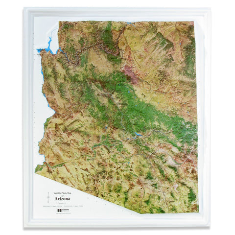
Arizona Satellite Raised Relief
This raised relief map of Arizona uses satellite imagery. Major roads and cultural features are shown, with elevation shading to highlight the mountains and plains.
- Product Number: HUB_AZ_SATELLITE
- Reference Product Number: - None -
- ISBN: - None -
- Unfolded (flat) Size: 24 inches high by 28 inches wide
- Map format: Raised Relief
- Map type: Trade Maps - Raised Relief
- Geographical region: United States
- Geographical subregion: Arizona


