
Offshore Golden Gate-South Section Fishing Map
Offshore Golden Gate - South Section (with GPS)
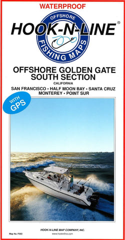
This two-sided offshore saltwater fishing map covers the Pacific Ocean offshore of the Golden Gate from Point Sur at the south end to Point Reyes at the north end. The map shows latitude-longitude lines, depth contours, islands, sea mounts, underwater canyons and well-marked fishing locations. The reverse side of this map has listings for the fishing locations with GPS coordinates, water depths and fish species caught from different times of the year.
- Product Number: HNL_F202_S_OFF_GG
- Reference Product Number: - None -
- ISBN: - None -
- Folded Size: 13 inches high by 6.75 inches wide
- Unfolded (flat) Size: 37.5 inches high by 25 inches wide
- Map format: Folded
- Map type: Trade Maps - Fishing
- Geographical region: United States
- Geographical subregion: California


