Cedar Creek Lake Fishing Map
Cedar Creek Lake Fishing Map
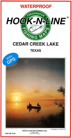
A two-sided freshwater lake map. Cedar Creek Lake is a large lake located just west of US 175 about 40 miles southeast of Dallas. The lake is surrounded by many marinas and boat ramps making all parts of the lake accessible. The map has GPS numbers for fishing spots, marinas, boat ramps, and other locations.
- Product Number: HNL_F125_CEDAR
- Reference Product Number: - None -
- ISBN: - None -
- Folded Size: 13 inches high by 6.75 inches wide
- Unfolded (flat) Size: 37.5 inches high by 25 inches wide
- Map format: Folded
- Map type: Trade Maps - Fishing
- Geographical region: United States
- Geographical subregion: Texas


