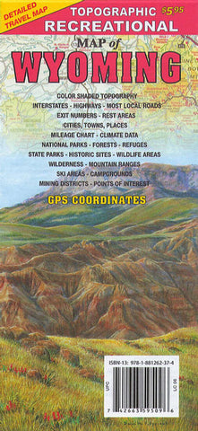
Topographic recreational map of Wyoming
Topographic map of Wyoming with legend, climate and mileage chart. Relief shown by contours and spot heights. On reverse cities, towns and places index, national parks, forests, refuges, state parks, historic sites, wildlife areas, wilderness, mountain ranges, ski areas, campgrounds, mining districts and points of interest.
- Product Number: GTR_WY_20
- Reference Product Number: - None -
- ISBN: 9781881262374
- Date of Publication: 6/1/2020
- Folded Size: 9.06 inches high by 4.33 inches wide
- Unfolded (flat) Size: 33.07 inches high by 24.41 inches wide
- Map format: Folded
- Map type: Trade Maps - Outdoor Recreation Maps
- Geographical region: United States
- Geographical subregion: Wyoming


