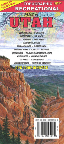
Topographic recreational map of Utah
Detailed travel map - Interstates, exit numbers, highways, most local maintained roads. Topographic contours each 1,000 feet. Color shaded each 2,000 feet above 6,000 feet. Features include national forests, wilderness, campgrounds, parks, state wildlife management areas, ski areas, mining districts, points of interest, and more.
- Product Number: GTR_UT_19
- Reference Product Number: 2316774M
- ISBN: 9781881262336
- Date of Publication: 6/1/2019
- Folded Size: 9.06 inches high by 4.33 inches wide
- Unfolded (flat) Size: 24.02 inches high by 33.07 inches wide
- Map format: Folded
- Map type: Trade Maps - Outdoor Recreation Maps
- Geographical region: United States
- Geographical subregion: Utah


