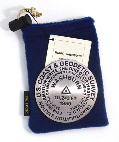
Mt. Washburn, Yellowstone National Park, Wyoming paperweight
3 1/4 inch diameter
Cast in fine pewter
Felt backing
With soft fleece pouch
In clear-vinyl covered box
PLACE NAME: Mount Washburn
ELEVATION: 10,243 ft. / 6962 meters
COORDINATES: N44° 47 52 W110° 26 02
LOCATION: Yellowstone National Park, Wyoming, USA
MARKERSLEUTH PHOTO CONTRIBUTOR: Harry Hamill, 2005
The hike to the top of Mount Washburn is one of the most popular hikes in Yellowstone. Two trails, each 3 miles (4.8 km) in length, switchback to the summit where expansive views of much of Yellowstone unfold below on clear, summer days.
- Product Number: GSU_PW_WASHBURN
- Reference Product Number: 2306194M
- ISBN: - None -
- Map format: - None -
- Map type: Accessories - Other Accessories
- Geographical region: United States
- Geographical subregion: Wyoming


