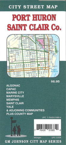
Port Huron : St Clair Co. : city street map
Folded street map of Port Huron, MI, and surrounding area. Main map covers Port Huron with insets of St. Clair and Lake Port. Reverse covers St. Clair County with insets of Memphis, Emmett, Fair Haven, Capac, Yale, Algonac, Worth Beach Communities, and vicinity.
- Product Number: GMJ_PORT_HURON_16
- Reference Product Number: 2224131M
- ISBN: 9781770685604
- Date of Publication: 6/1/2016
- Folded Size: 9.45 inches high by 4.33 inches wide
- Unfolded (flat) Size: 19.49 inches high by 26.97 inches wide
- Map format: Folded
- Map type: Trade Maps - City Maps
- Geographical region: United States
- Geographical subregion: Michigan


