
Louisville, Kentucky and New Albany, Indiana
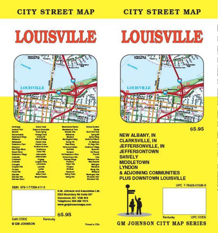
Folded street map of Louisville, KY, and surrounding area. One side covers Louisville from Floyd County to Middletown to Clarksville, IN, in the north and Louisville airport in the south. Reverse covers Valley Downs to Fairmont with inset of downtown Louisville, with extensive index of streets and places of interest.
- Product Number: GMJ_LOUISVILLE_21
- Reference Product Number: - None -
- ISBN: 9781774490181
- Date of Publication: 6/1/2021
- Folded Size: 9.45 inches high by 4.33 inches wide
- Unfolded (flat) Size: 39.37 inches high by 27.17 inches wide
- Map format: Folded
- Map type: Trade Maps - City Maps
- Geographical region: United States
- Geographical subregion: Indiana,Kentucky


