
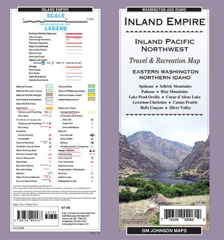
Inland Empire / Eastern WA / Northern ID, Washington Regional Map
Folded map of inland Pacific Northwest. One side covers Valley County to Clearwater County to Columbia County with index. Reverse covers Clearwater National Forest to Adams County up to Colville National Forest, with index.
- Product Number: GMJ_INLAND_EM_22
- Reference Product Number: - None -
- ISBN: 9781774491577
- Date of Publication: 6/1/2022
- Folded Size: 9 inches high by 4 inches wide
- Unfolded (flat) Size: 39 inches high by 27 inches wide
- Map format: Folded
- Map type: Trade Maps - Road
- Geographical region: United States
- Geographical subregion: Idaho,Washington


