
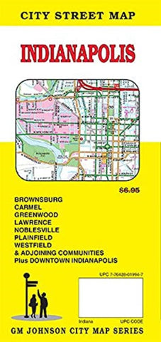
Indianapolis, IN City Street Map
Map Coverage Area: Avon, Beech Grove, Brownsburg, Carmel, Cicero, Clermont, Crows Nest, Cumberland, Fishers, Greenwood, Homecroft, Indianapolis, Lawrence, Meridian Hills, Noblesville, Plainfield, Southport, Speedway, Warren Park, Westfield, Whitestown, Williams Creek, Wynnedale, Zionsville, Boone County, Hendricks County, Johnson County, Marion County, Morgan County, Downtown Indianapolis
- Product Number: GMJ_INDIANAPOLIS_21
- Reference Product Number: - None -
- ISBN: 9781774490419
- Date of Publication: 6/1/2021
- Folded Size: 9 inches high by 4 inches wide
- Unfolded (flat) Size: 45 inches high by 36 inches wide
- Map format: Folded
- Map type: Trade Maps - City Maps
- Geographical region: United States
- Geographical subregion: Indiana


