
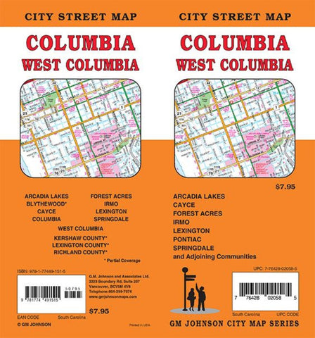
Columbia, South Carolina Street Map
Columbia, West Columbia, Arcadia Lakes, Blythewood*, Cayce, Forest Acres, Irmo, Lexington, Springdale, Kershaw County*, Lexington County*, Richland County*
*Partial Coverage
- Product Number: GMJ_COLUMBIA_22
- Reference Product Number: - None -
- ISBN: 9781774491515
- Date of Publication: 1/1/2022
- Folded Size: 9 inches high by 4 inches wide
- Unfolded (flat) Size: 39 inches high by 27 inches wide
- Map format: Folded
- Map type: Trade Maps - City Maps
- Geographical region: United States
- Geographical subregion: South Carolina


