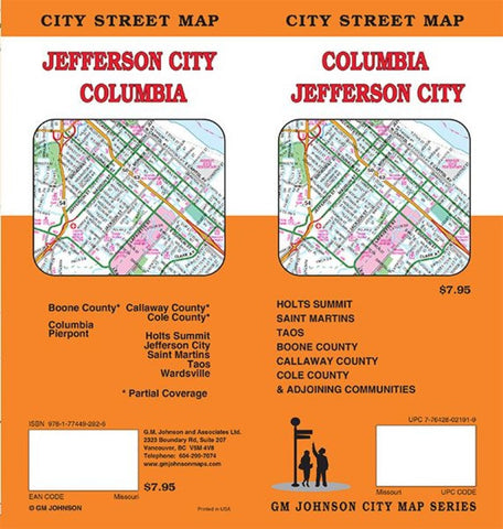
Columbia : Jefferson City : city street map = Jefferson City : Columbia : city street map
Street map of Columbia and Jefferson City, MO. Includes extensive street index and inset for Mizzous campus.
Columbia, Holts Summit, Jefferson City, Pierpont, Saint Martins, Taos, Wardsville, Boone County*, Callaway County*, Cole County* *Partial Coverage
- Product Number: GMJ_COL_JEFF_22
- Reference Product Number: - None -
- ISBN: 9781774492826
- Date of Publication: 12/1/2022
- Folded Size: 9.06 inches high by 4.33 inches wide
- Unfolded (flat) Size: 26.97 inches high by 39.17 inches wide
- Map format: Folded
- Map type: Trade Maps - City Maps
- Geographical region: United States
- Geographical subregion: Missouri


