
Pend Oreille Lake, ID Fishing Map
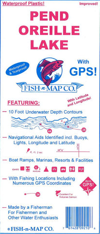
This map shows underwater topographic details for Pend Oreille Lake. The map features:
- 10 foot underwater contours
- Navigational Aids Identified, including buoys, lights, longitude, and latitude
- Boat ramps, marinas, resorts, and facilities
- With fishing locations including numerous GPS coordinates
- Product Number: FNM_PEND_OREI_19
- Reference Product Number: 2301106M
- ISBN: - None -
- Date of Publication: 6/1/2019
- Folded Size: 9.06 inches high by 3.94 inches wide
- Unfolded (flat) Size: 23.62 inches high by 35.83 inches wide
- Map format: Folded
- Map type: Trade Maps - Fishing
- Geographical region: United States
- Geographical subregion: Idaho


