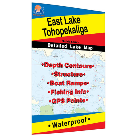
East Lake Tohopekaliga Fishing Map
At 5,581 acres, Eagle Lake is one of many large lakes in the Fish River chain of lakes located in Aroostook County in northern Maine. It has a maximum recorded depth of 142 feet. A beautiful public boat launch facility with ample parking is located near the elbow of the big lake just off Route 11 in the town of Eagle Lake. The lake is well marked with navigational buoys by the Maine Department of Conservation.Featured Species: Brown Trout, Lake Trout, Smallmouth Bass, Largemouth Bass, White Perch, Chain Pickerel, Rainbow Smelt, Brown Bullhead Map Features: Waterway Profile, Accesses, Fishery Information, Contour Lines
- Product Number: FHS_TOHOPEK_E_
- Reference Product Number: L266
- ISBN: - None -
- Map format: Folded
- Map type: Trade Maps - Fishing
- Geographical region: United States
- Geographical subregion: Florida


