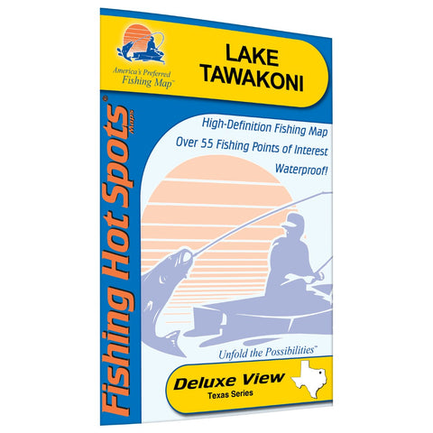
Tawakoni Fishing Map
Lake Tawakoni provides approximately 36,700 surface acres of recreational and fishing waters. Built in 1960, the lake now contains a robust fishery of white, hybrid and striped bass. Good catches of blue catfish are also available. Not heavily pursued by anglers, the largemouth population offers good numbers of fish. Blue Catfish, Channel Catfish, White Bass, Striped Bass, Hybrid Striped Bass, Largemouth Bass, White Crappie, Black Crappie Map Features: Lake Profile Fishery Information Fishing Tips and Techniques Over55 Fishing Points of Interest with GPS 37Marked Fishing Locations 16Access Locations 7 Referential GPS Waypoints All new FHS Cartography and Look
- Product Number: FHS_TAWAKONI_
- Reference Product Number: L710
- ISBN: - None -
- Folded Size: 9.06 inches high by 5.91 inches wide
- Unfolded (flat) Size: 15.35 inches high by 17.72 inches wide
- Map format: Folded
- Map type: Trade Maps - Fishing
- Geographical region: United States
- Geographical subregion: Texas


