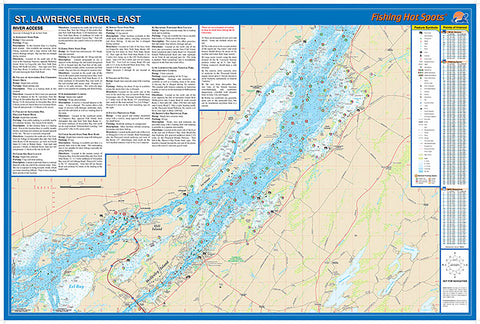
S279 - St. Lawrence River East Fishing Wall Map
The St. Lawrence Riveris a maze of islands, bays and shoals and provides anglers with countless opportunities. It is famous throughout the United States and Canada for its ability toyield giant muskie, producing more 50-pound fish over the years than any other location in North America. This map coversWellesley Island to Chippewa Bay
Featured Species: Smallmouth Bass, Muskie, Northern Pike, Walleye, Largemouth Bass, and Yellow Perch
Map Features: Lake Profile, Fishery Information, Fishing Tips and Techniques, GPS Information, 13 Accesses with Driving Directions, 165 Fishing Points of Interest
- Product Number: FHS_ST_LAW_E_WA
- Reference Product Number: - None -
- ISBN: - None -
- Unfolded (flat) Size: 24 inches high by 36 inches wide
- Map format: Wall
- Map type: Trade Maps - Fishing
- Geographical region: United States
- Geographical subregion: New York


