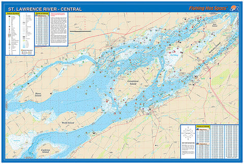
S278 - St Lawrence River - Central (1000 Islands-Howe Is to Wellesley Is) Fishing Wall Map
The maps show lake bottom contours, shoreline features, roads leading to the lakes, boating facilities along the lake shore, and much more. Printed on tear-resistant, waterproof synthetic material.
- Product Number: FHS_ST_LAW_C_WA
- Reference Product Number: - None -
- ISBN: - None -
- Unfolded (flat) Size: 24 inches high by 36 inches wide
- Map format: Wall
- Map type: Trade Maps - Fishing
- Geographical region: United States
- Geographical subregion: New York


