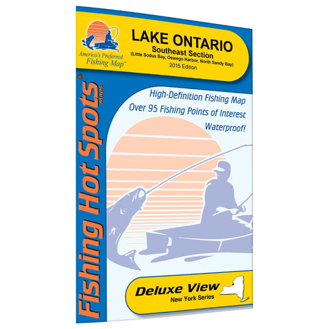
Lake Ontario Fishing Map (Oswego Area)
Lake Ontario, smallest of the Great Lakes, is nevertheless the 15th largest lake in the world, and famous for rapidly changing weather conditions. The entire 6,700 square mile area south and west of Long Point, Ontario and Stony Point, New York functions as a single, main basin. This map covers about 600 square miles of the main basin, with a maximum depth of over 700 feet. Featured Species: Largemouth Bass, Northern Pike, Rock Bass, Bluegill, Pumpkinseed, Brown Bullhead Map Features: Lake Profile Fishery Information Fishing Tips and Techniques 23Accesses with Driving Directions 66 Proven Fishing Areas Marked
- Product Number: FHS_ONTARIO_M497_
- Reference Product Number: M497
- ISBN: - None -
- Folded Size: 9 inches high by 6 inches wide
- Unfolded (flat) Size: 36 inches high by 24 inches wide
- Map format: Folded
- Map type: Trade Maps - Fishing
- Geographical region: United States
- Geographical subregion: New York


