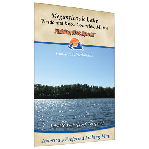
Megunticook Lake Fishing Map
Megunticook Lake is a medium-sized water body at 1,220 acres and has a maximum recorded depth of 69 feet. Located just outside of Camden, Maine, Megunticook Lake is very picturesque with the towering cliffs of Mount Megunticook rising from the east shore. Public Access is available at a boat site off Route 52 on the east shore. There is also a gravel launch off Route 105 along the southwest shore. Access to Norton Pond is available on the northwest shore just off Route 52 at Breezemere Park. Megunticook Lake is marked with navigational buoys by the Town of Camden. Lands End (owned by the Town of Camden) and Fernalds Neck (owned by Coastal Mountains Land Trust) provides public access for day-use picnic areas for waterway users.Featured Species: Brown Trout, Lake Trout (togue), Smallmouth Bass, Largemouth Bass, White Perch, Chain Pickerel, Rainbow Smelt Map Features: Waterway Profile, Accesses, Fishery Information, Contour Lines
- Product Number: FHS_MEGUNTICOOK_
- Reference Product Number: G418
- ISBN: - None -
- Folded Size: 9.06 inches high by 5.91 inches wide
- Unfolded (flat) Size: 11.42 inches high by 17.72 inches wide
- Map format: Folded
- Map type: Trade Maps - Fishing
- Geographical region: United States
- Geographical subregion: Maine


