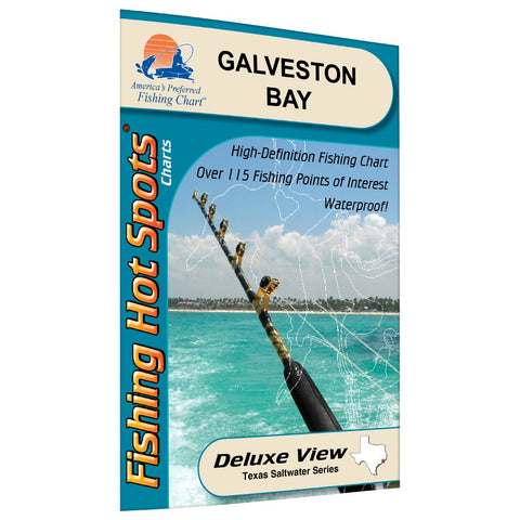
Galveston Bay Fishing Map
Galveston Bay is the largest estuary on the Texas coast and the seventh largest in the United States. The Galveston Bay Complex is actually made up of four separately named bays: East Bay and West Bay in the south, Galveston Bay proper in the south and northwest, and Trinity Bay to the northeast. Galveston Bay and Trinity Bay are wide and largely unprotected from the elements. When boating, it is prudent to launch from a site that is adjacent to the area you want to fish. If you’re going to run far from the boat ramp, be sure your boat is seaworthy enough to handle the short chop that makes navigating a small boat a wet, if not dangerous proposition in the open waters of Galveston Bay. Featured Species: Spotted Seatrout Southern Flounder Black Drum Redfish (Red Drum) Sheepshead Spanish Mackerel Jack Crevalle
- Product Number: FHS_GAL_BAY_
- Reference Product Number: TX0114
- ISBN: - None -
- Map format: Folded
- Map type: Trade Maps - Fishing
- Geographical region: United States
- Geographical subregion: Texas


