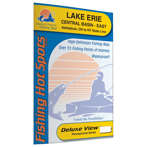
Lake Erie Central Basin East Fishing Map (Ashtabula, Ohio to New York State Line)
1 of a 3 Map Set Lake Erie is the 4th largest out of the 5 Great Lakes. Just like the other sister lakes, Lake Erie was carved out by the glaciers. It is also the 13th largest freshwater lake in the world. Compared to the other Great Lakes, it is the shallowest and the most southern Great Lake. Lake Erie has many busy ports and provides drinking water to many people in 3 states. Lake Erie is one of the busiest fishing lakes in the Great Lake System. Lake Erie is considered to be one of the best walleye fisheries in the northern part of the country. Featured Species: Walleye, Smallmouth Bass Map Features: Lake Profile Fishery Information Fishing Tips and Techniques 15Accesses with Driving Directions 55 Fishing Points of Interest
- Product Number: FHS_ERIE_L293_
- Reference Product Number: L293
- ISBN: - None -
- Folded Size: 9.06 inches high by 5.91 inches wide
- Unfolded (flat) Size: 23.62 inches high by 35.43 inches wide
- Map format: Folded
- Map type: Trade Maps - Fishing
- Geographical region: United States
- Geographical subregion: Ohio


