
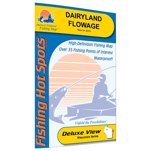
Dairyland Flowage Fishing Map
The Dairyland Reservoir is located in Rusk County is one of the best maintained flowages in the state of Wisconsin and has a lot to offer for the outdoor sportsman. The upper area of the flowage from Big Falls to the County I Bridge offers some of the finest scenic wilderness experience almost resembling that of a Canadian Forest. The Dairyland Flowage has fairly significant wildrice beds compared to other reservoirs in the state. Featured Species: Muskie, Walleye, Smallmouth Bass, Yellow Perch, Lake Sturgeon Map Features: Lake Profile Fishery Information Fishing Tips and Techniques 3 Accesses with Driving Directions 34 Proven Fishing Areas Marked
- Product Number: FHS_DAIRYLAND_
- Reference Product Number: L767
- ISBN: - None -
- Map format: Folded
- Map type: Trade Maps - Fishing
- Geographical region: United States
- Geographical subregion: Wisconsin


