
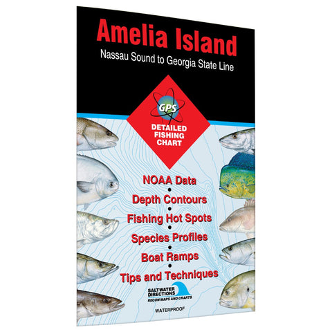
Amelia Island - Nassau Sound to Georgia State Line saltwater fishing map
This map has been discontinued from mass production. However copies of this map may still be purchased on demand. This means that although the map will be high-quality, it will NOT be printed on waterproof paper. You will have two options: 1. Bright White Paper (which is not water resistant) 2. Laminated Map (this is water resistant, however a fee applies). Your map will ship rolled in a poster tube. Please allow 10-15 business days for your order to ship. Massive dunes provide the perfect backdrop for its 13 miles of pristine beaches. The island is only 1.9 miles wide and is surrounded by the Atlantic Ocean, Cumberland Sound, and the Amelia River. The list of saltwater fish available is long. Redfish, spotted seatrout, and southern flounder are found around the grassbeds and oyster mounds in the backwater creeks and lagoons. Tarpon, Spanish mackerel, cobia, crevalle jack, king mackerel and trophy red drum hang out around inshore inlets, channels, beaches and buoys.Offshore, find am
- Product Number: FHS_AMELIA_FL_
- Reference Product Number: FL0126
- ISBN: 9781591890843
- Folded Size: 9 inches high by 6 inches wide
- Unfolded (flat) Size: 24 inches high by 36 inches wide
- Map format: Folded
- Map type: Trade Maps - Fishing
- Geographical region: United States
- Geographical subregion: Florida,Georgia


