
Washington = Washington
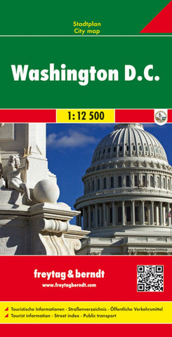
Central Washington DC at 1:12,500 on street plan from Freytag & Berndt clearly showing locations of various government institutions, US and international organizations, numerous foreign embassies, cultural centres, educational establishments and other and places of interest. Metro and railway stations are prominently marked and for drivers access to and from highways is clearly laid out.
Coverage extends north beyond the Howard University Campus to the National Zoological Park; east across the Potomac to Arlington, including the National Cemetery, Fort Myer and the Pentagon; south to the Ronal Reagan Airport; and west just beyond the Anacostia River. Street index is on the reverse. Multilingual map legend includes English.
- Product Number: FB_WA_DC_9
- Reference Product Number: - None -
- ISBN: 9783707911763
- Date of Publication: 9/20/2009
- Folded Size: 10.02 inches high by 5.11 inches wide
- Unfolded (flat) Size: 27.75 inches high by 39.4 inches wide
- Map format: Folded
- Map type: Trade Maps - City Maps
- Geographical region: United States
- Geographical subregion: District of Columbia


