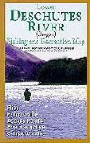
Lower Deschutes River Map
Full color info-packed map for fly fishing the lower Deschutes River in OR. Tells which flies are most productive, what hatches & when, & much more. Gives info on access points, boat launches & campgrounds. Laminated.
- Product Number: AMTO_DES_98
- Reference Product Number: 2294065M
- ISBN: 9781571881175
- Date of Publication: 6/1/1998
- Folded Size: 11 inches high by 4 inches wide
- Unfolded (flat) Size: 22 inches high by 11 inches wide
- Map format: Folded
- Map type: Trade Maps - Park
- Geographical region: United States
- Geographical subregion: Oregon


