
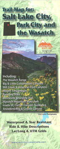
Trail map for Salt Lake City, Park City and the Wasatch :
The Salt Lake City, Park City, and the Wasatch Adventure Map (2016 edition) is a waterproof, topographic map (lat/long,UTM grids) that includes route descriptions throughout trails the Wasatch Range including, Mill Creek Canyon, Big & Little Cottonwood Canyons, American Fork Canyon, Mount Timpanogos, Park City, Bonneville Shoreline Trail, Wasatch Mountain State Park. The map includes 25 of the best mountain bike rides and 32 hike suggestions for the area. The map also includes blowups of Corner Canyon, Snowbird/Alta, Sundance and an inset of the Coyote Canyon trails in Heber City.
Water/Tear Proof Map, Flat Map, and Laminated Flat Map options are available (see below). Flat and Laminated maps make nice gifts as you can hang them on a wall.
- Product Number: ADV_SALT_PK_WAS_16
- Reference Product Number: 2251066M
- ISBN: 9781933783444
- Date of Publication: 6/1/2016
- Folded Size: 9.84 inches high by 3.94 inches wide
- Unfolded (flat) Size: 26.38 inches high by 36.22 inches wide
- Map format: Folded
- Map type: Trade Maps - Hiking
- Geographical region: United States
- Geographical subregion: Utah


