
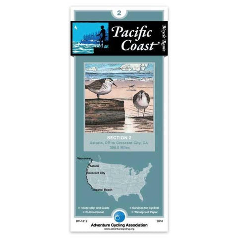
Pacific Coast Bicycle Route #2
Along the Oregon Coast, the route often uses US 101, a two-lane highway popular with tourists. During the summer months and on holidays and weekends this highway carries moderate to heavy traffic. This is also timber country, so watch for logging trucks. Many improvements for bicycle traffic have been made along US 101. In places the shoulders have been widened and striped. Tunnels are well-lit, and the tunnel at Arch Cape has a flashing light that you can activate to warn motorists that you are in the tunnel. Also watch for special hiker/biker sites in the state park campgrounds. Where the route leaves US 101, the roads are generally rougher and without shoulders, but traffic tends to be light. There are some steep ascents over coastal headlands, notable between Cannon Beach and Manzanita. Traffic is heavier near and in Lincoln City, and thins again on the gentle grades around Newport and Waldport. Many of the coastal towns cater to tourists, and youll find the views along the coast
- Product Number: ADCY_BC_1612_18
- Reference Product Number: - None -
- ISBN: 9780935108361
- Date of Publication: 5/1/2018
- Folded Size: 8.25 inches high by 3.75 inches wide
- Unfolded (flat) Size: 24 inches high by 18 inches wide
- Map format: Folded
- Map type: Trade Maps - Bicycling
- Geographical region: United States
- Geographical subregion: California,Oregon


