
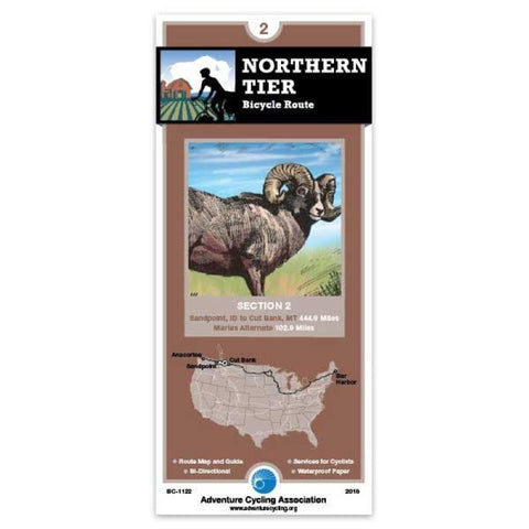
Northern Tier Bicycle Route #2
SR 200 east of Sandpoint carries both recreational and commercial traffic so ride it cautiously. In Montana, the route uses either state or U.S. highways to Eureka. Most of the logging is done in this corner of the state; the scenery is beautiful but expect to encounter logging trucks. Traffic along Lake Koocanusca in minimal. U.S. 93, which the route uses from Eureka to Whitefish, can have moderate to heavy traffic since its a main thoroughfare into Canada. The route northeast of Columbia Falls includes a few miles of gravel, but avoids some of the hectic tourist traffic on U.S. 2 near Glacier National Park. Glacier Park traffic is heavy during the summer. Going-to-the-Sun Road between West Glacier and St. Mary is closed to all traffic from about Sept. 30 to June 15. On the east side of the Continental Divide the route heads into Canada and a spur goes to Waterton Lakes National Park. Once out on the plains the route returns to the U.S. and ends in Cut Bank.; ; ; ABOUT ADVENTURE CYCL
- Product Number: ADCY_BC_1122_18
- Reference Product Number: - None -
- ISBN: 9780935108057
- Date of Publication: 3/1/2018
- Folded Size: 8.25 inches high by 3.75 inches wide
- Unfolded (flat) Size: 24 inches high by 18 inches wide
- Map format: Folded
- Map type: Trade Maps - Bicycling
- Geographical region: United States
- Geographical subregion: Idaho,Montana


