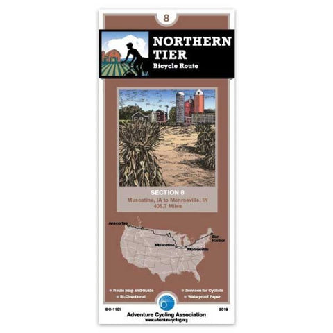
Northern Tier Bicycle Route Section 8
Grades in the Lowlands, where this section is located, are minimal, if not nonexistent. The elevation rises less than 500 feet between Iowa and Ohio. One of the few places where hills are noticable is in east-central Indiana, around the Salamonie River and Mt. Hope Recreation Areas. By and large, youll have great visibility ahead and behind. The tall corn, however, can screen everything to the sides. Listen for vehicles approaching from the fields; some farmers dont stop when they drive onto the roads. The corn can also hide street signs when it gets high.
The most notable feature of the route is the constantly changing quality of the roads. The county roads, however, have one saving grace -- they
- Product Number: ADCY_BC_1101_19
- Reference Product Number: - None -
- ISBN: 9780935108002
- Date of Publication: 6/1/2012
- Folded Size: 8.5 inches high by 4 inches wide
- Unfolded (flat) Size: 18 inches high by 24.5 inches wide
- Map format: Folded
- Map type: Trade Maps - Bicycling
- Geographical region: United States
- Geographical subregion: Indiana,Iowa


