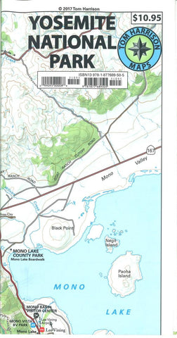
Yosemite National Park by Tom Harrison Maps
Folded topo map of Yosemite. Features color-coded symbols and trails, mileages between trail junctions, latitude/longitude, UTM grids, contour lines, vegetation, and elevations at trail junctions. Printed on one side on waterproof and tear-resistant plastic material.
Contour interval 200ft.
- Product Number: 2223656M
- Product Code: TH_YOS
- ISBN: 9781877689505
- Year of Publication: 2017
- Folded Size: 8.66 x 4.72 inches
- Unfolded Size: 24.8 x 27.17 inches
- Map type: Folded Map
- Geographical region: United States


