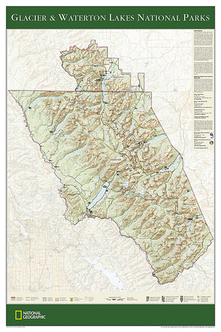
Glacier and Waterton Lakes National Parks, Sleeved by National Geographic Maps
Click to Zoom (high resolution)
The wall map of Glacier and Waterton Lakes National Parks, based on the popular Trails Illustrated map of the area, provides rich topographic detail to show the Montana and Alberta parks magnificent scenery, as well as updated trail and road information for the Crown of the Continent.
- Product Number: 2067165M
- Product Code: NG_GLACIER_WA_S
- Publisher Product ID: RE01020339
- ISBN: 9781597751421
- Year of Publication: 2007
- Unfolded Size: 32.87 x 22.44 inches
- Map type: Wall Map
- Geographical region: United States


