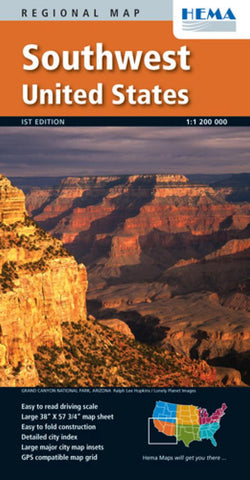
United States, Southwest by Hema Maps
From Hemas new range of 6 regional USA maps, this map covers the south west corner of the country. The states covered include Southern California, most of Nevada, Utah and Colorado and South to the border including New Mexico and Arizona.
This excellent series of maps feature super clear and easy to read mapping with road classifications from toll highways down to minor roads, major trails are also indicated. All the main roads show distances between points.
Relief shading indicates the topography of the land and various colours show national parks, wilderness areas, state parks, urban areas, military areas and indian reservations. A slew of symbols show points of interest or usefulness including hospitals, information centres, airports, rest areas, service areas, Amtrak stations, campgrounds, wineryies, casinos and loads more.
The reverse side features throughroad maps of major cities including Los Angeles, Sacramento, San Francisco, San Jose, Tijuana, Pheonix, Cidad Juarez, San Bernadino, Salt Lake City, and Denver, theres also several distance and travel time charts and an extensive index of points of interest.
- Product Number: 2038916M
- Product Code: HEMA_USA_SW
- ISBN: 9781934006795
- Year of Publication: 2010
- Folded Size: 9.45 x 4.92 inches
- Unfolded Size: 36.61 x 55.91 inches
- Map type: Folded Map
- Geographical region: United States


