
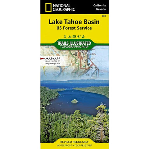
Lake Tahoe Basin, Map 803
• Waterproof • Tear-Resistant • Topographic Map
The largest alpine lake in North America, Lake Tahoe straddles the border of California and Nevada. Its unusually clear waters and surrounding Sierra Nevada mountains make it one of the most beautiful lakes in the world. National Geographics Trails Illustrated map of Lake Tahoe Basin delivers unmatched detail and valuable information to assist you in enjoying the year-round recreational opportunities this region offers. This map includes Desolation Wilderness; Prosser Creek Reservoir; Granite Chief and Mount Rose wilderness areas; and El Dorado, Humboldt-Toiyabe and Tahoe National Forests. In addition, the following state parks are included: Donner Memorial, Ed Zberg Sugar Pine Point, Emerald Bay, D.L. Bliss, Lake Tahoe Nevada, Burton Creek, and Washoe Lake.
Whether youre exploring Lake Tahoe Basin on foot, or by horse, motorcycle or ATV, the handy trail chart will prove a useful tool in your travels. The popular Pacific C
- Product Number: TI_TAHOE_BASI_22
- Reference Product Number: - None -
- ISBN: 9781566953344
- Date of Publication: 6/1/2022
- Folded Size: 9.45 inches high by 4.33 inches wide
- Unfolded (flat) Size: 34.06 inches high by 25.2 inches wide
- Map format: Folded
- Map type: Trade Maps - Park
- Geographical region: United States
- Geographical subregion: California,Nevada


