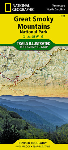
Great Smoky Mountains National Park, Map 229 by National Geographic Maps
• Waterproof • Tear-Resistant • Topographic Map
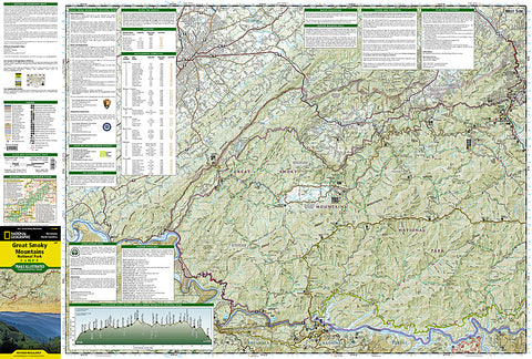
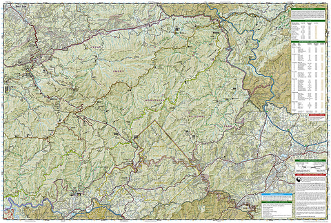
Americas most visited national park and a UNESCO World Heritage Site, Great Smoky Mountains National Park is both renowned for its diversity of plant and animal life and rich in remnants of Southern Appalachian mountain culture. National Geographics Trails Illustrated map of the park combines unparalleled detail and valuable information for outdoor enthusiasts seeking to explore all the area has to offer with particular attention shown to backcountry campsites, shelters, and stream crossings. A detailed profile of the Appalachian National Scenic Trail, which snakes along the ridge of the Great Smoky Mountains, provides a handy tool for hikers. The map features many key points of interest as well, including Cades Cove, Fontana Lake, Maryville, and Gatlinburg.
With over 800 miles of mapped trails, the Great Smoky Mountains National Park map can guide you off the beaten path and back again. The clearly marked trails include mileages between intersections. The map base includes contour lines and elevations for summits, passes and many lakes. Some of the many recreation features include: visitor centers, campgrounds, trail shelters, trailheads, boat ramps, scenic overlooks, interpretive trails and quiet walkways.
Every Trails Illustrated map is printed on Backcountry Tough waterproof, tear-resistant paper. A full UTM grid is printed on the map to aid with GPS navigation.
- Product Number: 2034602M
- Product Code: TI_GREAT_SMOK
- Publisher Product ID: TI00000229
- ISBN: 9781566953016
- Year of Publication: 2014
- Folded Size: 9.45 x 4.33 inches
- Unfolded Size: 24.8 x 37.01 inches
- Map type: Folded Map
- Geographical region: United States