
Paiute ATV Trail Trails Illustrated Map
• Waterproof • Tear-Resistant • Topographic Map
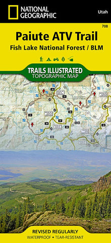
Revised in 2011, the Trails Illustrated map for Paiute ATV Trail and Fish Lake National Forest includes detailed ATV trails and trail mileages. The waterproof, tear-resistant map also includes UTM grids for use with your GPS unit.
Coverage includes Fish Lake National Forest, BLM - Sevier River Resource Area; Tushar Mountains; Fremont Indian State Park; Millard, Sevier and Paiute counties; complete map of Paiute ATV Trail with adjoining loop trails and town access maps including Fillmore, Richfield, Koosharem, Marysvale, Geenwich and Circleville; reservoirs including Piute, Otter Creek, Rocky Ford, Koosharem and Three Creeks.
- Product Number: TI_PAIUTE_ATV_19
- Reference Product Number: - None -
- ISBN: 9781566953085
- Date of Publication: 6/1/2019
- Folded Size: 9.06 inches high by 4.33 inches wide
- Unfolded (flat) Size: 37.01 inches high by 25.2 inches wide
- Map format: Folded
- Map type: Trade Maps - Park
- Geographical region: United States
- Geographical subregion: Utah


