
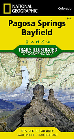
Pagosa Springs and Bayfield, Trail Map
Waterproof Tear-Resistant Topographic Map
New for southwest Colorado, National Geographics Trails Illustrated map Pagosa Springs and Bayfield provides detailed coverage for the abundant recreation lands surrounding Pagosa Springs, routinely noted in the media asone of the states undiscovered gems.
Designed to meet National Geographics high quality standards, Pagosa Springs and Bayfield was completed with the assistance of the San Juan Public Lands Center, a unique cooperative venture between the San Juan field office of the BLM and the San Juan National Forest. These agencies work as a joint entity called the Service First Initiative which allows the USFS and BLM offices to combine resources to improve public-land management.
Like all Trails Illustrated maps, Pagosa Springs and Bayfield contains detailed topographic information, clearly marked roads and trails classified by use, locations of popular recreation areas, and navigational aids for use with a GPS and co
- Product Number: TI_PAGOSA_SPR_19
- Reference Product Number: - None -
- ISBN: 9781566952392
- Date of Publication: 6/1/2019
- Folded Size: 7.48 inches high by 3.94 inches wide
- Unfolded (flat) Size: 24.8 inches high by 32.68 inches wide
- Map format: Folded
- Map type: Trade Maps - Park
- Geographical region: United States
- Geographical subregion: Colorado


