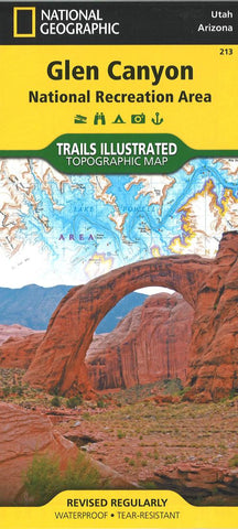
Glen Canyon National Recreation Area, Map 213
Waterproof, tear-resistant, topographic map of Glen Canyon.
The Glen Canyon NRA and Rainbow Bridge NM Trails Illustrated map provides detailed topographic coverage, trails, and locations of important recreational points of interest for outdoor enthusiasts. Inset maps for Hite, Halls Crossing, Dangling Rope, Bullfrog Bay, and Wahweap marinas and campgrounds show the location of key facilities such as boat ramps, RV campgrounds, laundry facilities, and parking.
Like all Trails Illustrated maps, our Glen Canyon title is printed on durable, waterproof, tear-resistant material that will stand up to the elements. Selected locations on the map are shown with GPS waypoints for use with handheld GPS receivers.
Map Scale = 1:90,000
- Product Number: TI_GLEN_19
- Reference Product Number: - None -
- ISBN: 9781566953436
- Date of Publication: 6/1/2019
- Folded Size: 9.06 inches high by 4.33 inches wide
- Unfolded (flat) Size: 37.01 inches high by 24.8 inches wide
- Map format: Folded
- Map type: Trade Maps - Park
- Geographical region: United States
- Geographical subregion: Arizona,Utah

