
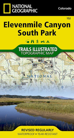
Elevenmile Canyon and South Park, CO, Map 152
Waterproof, tear-resistant, topographic map of Elevenmile Canyon, CO.
Outdoor enthusiasts seeking the year-round recreational activities in central Colorado will marvel at National Geographics Trails Illustrated map of Elevenmile Canyon and South Park. Created in cooperation with the U.S. Forest Service, Colorado Parks and Wildlife and others, this expertly researched map covers, in extensive detail, the area from Lost Creek Wilderness in the northeast to the city of Salida in the southwest. Some recreation hotspots pinpointed are Pike and San Isabel National Forests, Spinney Mountain and Elevenmile State Parks, James Mark Jones State Wildlife Area, Platte River and Antero Reservoir.
Whether your exploring on foot, horseback, bike, motorcycle, ATV or snowmobile, find suitable trails to lead to you off the beaten path and back on again. Trails are mapped with mileage markers between intersections. Your navigation will be aided by the maps contour lines, elevations, labeled
- Product Number: TI_ELEVENMILE_S_PARK_19
- Reference Product Number: 2226154M
- ISBN: 9781566956840
- Date of Publication: 6/1/2019
- Folded Size: 7.48 inches high by 3.94 inches wide
- Unfolded (flat) Size: 36.61 inches high by 24.8 inches wide
- Map format: Folded
- Map type: Trade Maps - Park
- Geographical region: United States
- Geographical subregion: Colorado


