
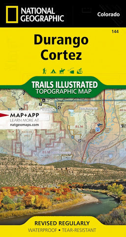
Durango : Cortez Trails Illustrated Map
National Geographics Trails Illustrated map of Durango and Cortez provides unparalleled detail of this culturally significant area of southwestern Colorado. Expertly researched and created in partnership with the U.S. Forest Service, the Bureau of Land Management and others, the map will guide you throughout your recreation or adventure in the area, regardless of the season. The maps coverage includes San Juan National Forest, Mesa Verde National Park, McPhee Reservoir and Recreation Area, Animas River and Valley, Canyon of the Ancients National Monument and Durango Mountain Ski Area.
This map can guide you off the beaten path and back again with a wide variety of trails, including trails for hiking, biking and motorized vehicles, plus city and primitive trails, the Animas River Trail and Colorado Trail. The map base includes contour lines and elevations for summits and passes. Recreation and adventure points of interest for all seasons are marked as well, including campground
- Product Number: TI_DURANGO_23
- Reference Product Number: - None -
- ISBN: 9781566954631
- Date of Publication: 6/1/2023
- Folded Size: 7.5 inches high by 4 inches wide
- Unfolded (flat) Size: 25.5 inches high by 37.75 inches wide
- Map format: Folded
- Map type: Trade Maps - Park
- Geographical region: United States
- Geographical subregion: Colorado


