
Delaware Water Gap National Recreation Area map
• Waterproof • Tear-Resistant • Topographic Map
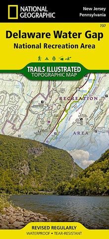
This National Geographic topographic map delivers detailed and helpful information for paddlers, anglers, hikers, and other adventurers looking to explore the 70,000-acre park. The areas unique terrain, with low-forested mountains and 1,000-foot deep water gap, is the maps core feature, with detailed elevation contours, shaded relief, vegetation, and water features. Some of the key areas of interest included are Middle Delaware River; High Point, Swartswood, and Kittatinny Valley state parks; and Stillwater Natural Area.
With miles of mapped trails including portions of the Appalachian, Liberty Gap, and Joseph M. McDade trails, this map can guide you off the beaten path and back again. Trail mileage between intersections will help you choose the path that’s right for you. River mileage and rapids on the Middle Delaware River are noted for those exploring by boat. Hiking, biking, and horse trails, along with major and secon
- Product Number: TI_DEL_WATER_GAP_20
- Reference Product Number: - None -
- ISBN: 9781566956291
- Date of Publication: 6/1/2020
- Folded Size: 9.45 inches high by 4.33 inches wide
- Unfolded (flat) Size: 37.01 inches high by 24.8 inches wide
- Map format: Folded
- Map type: Trade Maps - Park
- Geographical region: United States
- Geographical subregion: New Jersey,Pennsylvania


