
Collegiate Peaks Wilderness, Map 148
• Waterproof • Tear-Resistant • Topographic Map
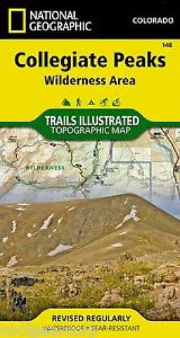
The Collegiate Peaks region is a popular destination for many year-round outdoor activities, least of which is the climbing of the eight fourteeners in the Collegiate Range. National Geographic’s Trails Illustrated map of Collegiate Peaks Wilderness Area delivers detail and valuable information to assist you in your exploration of this breathtaking wilderness. Expertly researched and created in partnership with local land management agencies, this map features many key points of interest including Twin Lakes, Buena Vista, Leadville, Taylor Park Reservoir, Aspen, Snowmass Ski Area, Crested Butte, and portions of the Taylor and Arkansas rivers.
This map can guide you off the beaten path and back again with miles of mapped trails including the Colorado and Continental Divide trails. Trail mileage between intersections will help you choose the path that’s right for you. Biking, cross country ski, snowmobile, and motorized trails
- Product Number: TI_COLL_PEAKS_WILD_19
- Reference Product Number: - None -
- ISBN: 9781566956680
- Date of Publication: 6/1/2019
- Folded Size: 7.48 inches high by 3.94 inches wide
- Unfolded (flat) Size: 24.8 inches high by 32.28 inches wide
- Map format: Folded
- Map type: Trade Maps - Park
- Geographical region: United States
- Geographical subregion: Colorado


