
Bradshaw Mountains and Prescott National Forest, AZ, Map 858
• Waterproof • Tear-Resistant • Topographic Map
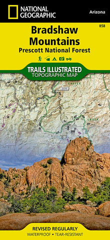
Created in partnership with the U.S. Forest Service and others, National Geographics Trails Illustrated Map of Bradshaw Mountains is an essential travel companion for novice and experienced outdoor enthusiasts alike exploring the area. Recreational lands around Prescott are shown with extensive detail in this expertly researched map. Coverage includes Prescott National Forest, Granite Mountain and Castle Creek Wilderness areas, Agua Fria National Monument, Hayfield Draw and Alto Pitt OHV Areas, Lynx Lake and a small segment of the Verde Wild and Scenic River as well as the municipalities of Prescott and Prescott Valley.
Get off the beaten path and back on by following along the clearly mapped trails, colored for motorized or non-motorized use, including the Great Western Trail, which is highlighted. ATVers will find designated recreation areas and trails marked. Navigate the area aided by the maps contour lines, elevations
- Product Number: TI_BRADSHAW_20
- Reference Product Number: - None -
- ISBN: 9781566955171
- Date of Publication: 6/1/2020
- Folded Size: 9.45 inches high by 4.33 inches wide
- Unfolded (flat) Size: 24.8 inches high by 37.01 inches wide
- Map format: Folded
- Map type: Trade Maps - Park
- Geographical region: United States
- Geographical subregion: Arizona


