
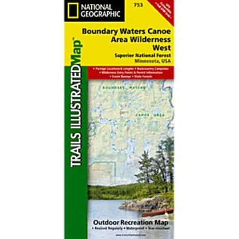
Boundary Water Canoe Area Wilderness West Trails Map
With over 1,500 miles of canoe routes, nearly 2,200 designated campsites, and more than 1,000 lakes and streams waiting, the Boundary Waters Canoe Area Wilderness draws over 250,000 visitors each year. National Geographics Trails Illustrated map of Boundary Waters East delivers unmatched detail and valuable information to assist you in your exploration of this breathtaking wilderness. Created in partnership with local land management agencies, this expertly researched map features key areas of interest including the International Wolf Center; Echo Trail roadway; Burntside, Vermilion, Trout, and Snowbank lakes; Little Indian Sioux and South Kawishiwi rivers; Kekekabic Trail; and Taconite State Trail.
- Product Number: TI_BOUNDARY_W_10
- Reference Product Number: - None -
- ISBN: 9781566955034
- Date of Publication: 6/1/2010
- Folded Size: 9.45 inches high by 4.25 inches wide
- Unfolded (flat) Size: 25.5 inches high by 37.75 inches wide
- Map format: Folded
- Map type: Trade Maps - Park
- Geographical region: United States
- Geographical subregion: Arizona


