
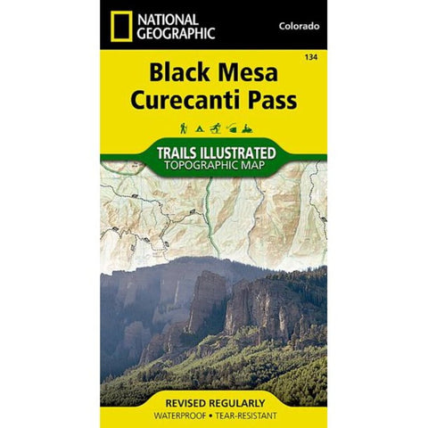
Black Mesa/Curecanti Pass, CO
• Waterproof • Tear-Resistant • Topographic Map
Outdoor enthusiasts seeking to explore the remote and untamed mountains of western Colorado will marvel at National Geographics Trails Illustrated map of Black Mesa and Curecanti Pass. Created in cooperation with the U.S. Forest Service, this expertly researched map covers the recreational land in the area with unparalleled detailed. Among the main points of interest are Gunnison National Forest, West Elk Mountains and Wilderness, Sapinero, Centennial and Gunnison State Wildlife Areas, Curecanti National Recreation Area and Rainbow Lake.
Get off the beaten path and back on again by following the map along hiking and motorized trails; hard surface and mountain bike routes; and snowmobile and winter use trails. To aid in your navigation of the area, the map also includes contour lines, elevations, labeled peaks, summits and passes, water features and selected waypoints as well as a complete road network of the area, including
- Product Number: TI_BLK_MESA_19
- Reference Product Number: - None -
- ISBN: 9781566954303
- Date of Publication: 1/1/2019
- Folded Size: 7.5 inches high by 4 inches wide
- Unfolded (flat) Size: 22 inches high by 32 inches wide
- Map format: Folded
- Map type: Trade Maps - Park
- Geographical region: United States
- Geographical subregion: Colorado


