
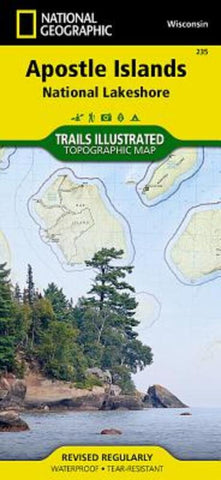
Apostle Island and National Lakeashore Trails
• Waterproof • Tear-Resistant • Topographic Map
National Geographic’s Trails Illustrated map of Apostle Islands National Lakeshore was created for outdoor enthusiasts looking to savor the areas unique combination of cultural resources, natural beauty and historical significance. Created in partnership with the National Park Service, U.S. Forest Service, Wisconsin Department of Natural Resources and Bayfield County Land Records Department, this expertly researched map covers the 21 islands and 12 miles of Lake Superior shoreline that comprise the national lakeshore with extensive detail. Also covered by the map are Red Cliffs Indian Reservation, Madeline Island, the northeastern corner of Chequamegon-Nicolet National Forest and the Bayfield Peninsula.
The maps many recreations points of interest will aid your exploration of the islands. Boat and kayak launch areas and marinas on the mainland are all marked along with the docks on the various islands. Lake Superior and th
- Product Number: TI_APOSTLE_20
- Reference Product Number: - None -
- ISBN: 9781566953665
- Date of Publication: 6/1/2020
- Folded Size: 9.45 inches high by 4.33 inches wide
- Unfolded (flat) Size: 24.8 inches high by 37.01 inches wide
- Map format: Folded
- Map type: Trade Maps - Park
- Geographical region: United States
- Geographical subregion: Wisconsin


