
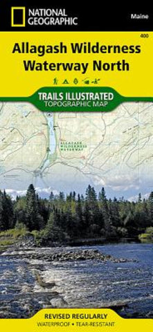
Allagash Wilderness Waterway, North, Maine, Map 400
• Waterproof • Tear-Resistant • Topographic Map
ALLAGASH WILDERNESS WATERWAY – NORTH Trails Illustrated Map
National Geographics recreational maps (TI 400 and 401) of the Allagash Wilderness Waterway are two-sided, waterproof maps designed to meet the needs of outdoor enthusiasts and tourists alike. Divided into two separate maps for exceptional detail, each is loaded with valuable information such as watercraft regulations, rules for recreational use and access, river difficulty scale, checkpoints, visitor and ranger station locations, and more. A UTM and Latitude/Longitude grid, as well as compass rose and scale bar will keep you pointed in the right direction.
Year-round activities abound in the region and the location of scenic viewpoints, wildlife viewing, boat launches and canoe carry downs, lookout towers, amphitheaters, ATV trails, and other points of interest are clearly marked as are park and forest boundaries and access points. Campers will appreciate th
- Product Number: TI_ALLAG_N_20
- Reference Product Number: - None -
- ISBN: 9781566955867
- Date of Publication: 6/1/2020
- Folded Size: 9.45 inches high by 4.33 inches wide
- Unfolded (flat) Size: 24.8 inches high by 37.01 inches wide
- Map format: Folded
- Map type: Trade Maps - Park
- Geographical region: United States
- Geographical subregion: Maine


