


Flat Tops South by National Geographic Maps
• Waterproof • Tear-Resistant • Topographic Map
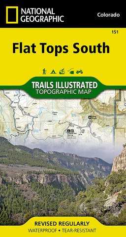
National Geographics Trail Illustrated map of Flat Tops South offers detail for outdoor enthusiasts looking to explore this area of Colorado, regardless of the season. Expertly researched and created in partnership with the U.S. Forest Service, Bureau of Land Management and others, this map features key points of interest, including White River National Forest, Flat Tops Wilderness, Hardscrabble and Gypsum Hills Recreation Areas, Rifle Falls and Rifle Gap State Parks, Glenwood Canyon plus the Colorado and Eagle Rivers.
Trailheads will lead you to clearly marked trails with mileage markers, color coded according to their designated usage, whether youre interested in hiking, climbing, horseback riding, biking, snowmobiling or ATVing . For water enthusiasts, a river difficulty scale chart is included along with a QR code connecting you to the National Stream Information Program for real-time water level updates. The map base includes contour lines and elevations for summits and peaks. Waterways and bodies of water, including rivers, streams, creeks and reservoirs are all prominent. The wide range of recreation features in the area is also clearly marked, including swimming and water skiing areas, boat launch sites, fishing areas, caves, scenic views and wildlife viewing areas.
Every Trails Illustrated map is printed on Backcountry Tough waterproof, tear-resistant paper. A full UTM grid is printed on the map to aid with GPS navigation.
Other features found on this map include: Eagle River, Flat Tops Wilderness, Glenwood Canyon, Grand Hogback, Hardscrabble Mountain, Roaring Fork River, White River National Forest.
- Product Number: 2179496M
- Product Code: TI_CO_151
- Publisher Product ID: TI00000151
- ISBN: 9781566956918
- Year of Publication: 2016
- Folded Size: 7.48 x 3.94 inches
- Unfolded Size: 24.8 x 36.61 inches
- Map type: Folded Map
- Geographical region: Colorado


