


Logan Bear River Range, Map 713 by National Geographic Maps
• Waterproof • Tear-Resistant • Topographic Map
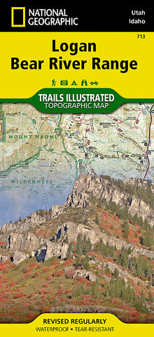
Located in northeastern Utah and southeastern Idaho, the Bear River Mountains offer year-round outdoor activities in one of the most scenic ranges in the western United States. National Geographics Trails Illustrated map of Logan and the Bear River Range combines unmatched detail with helpful information to provide an invaluable tool for making the most of your visit to this magnificent region. Expertly researched and created in partnership with local land management agencies, this map features key points of interest including Bear Lake National Wildlife Refuge; Hardware Ranch State Wildlife Area; Wellsville Mountain Wilderness; Bear River; Mount Naomi Wilderness; and the cities of Logan, Hyrum, and Smithfield.
Designed with a wide range of visitors in mind, this map features detailed and easy-to-read trails that are clearly marked according to use; accurate road network including state and national scenic byways; and a handy activity guide for the Cache and Caribou-Targhee national forests, Bear Lake and Hyrum state parks, and the City of Hyrum. With miles of mapped trails, including a portion of Great Western Trail, this map will help guide you off the beaten path and back again. Trail mileage between intersections will assist you in choosing the path thats right for you. The map base includes contour lines and elevations for summits, passes and many lakes. Some of the many recreation features include campgrounds, trailheads, ski areas, fishing access, boat launches, scenic viewpoints, and water skiing and swimming areas.
Every Trails Illustrated map is printed on Backcountry Tough waterproof, tear-resistant paper. A full UTM grid is printed on the map to aid with GPS navigation.
Other features found on this map include: Bear Lake, Bear River Range, Brigham City, Cache National Forest, Cache Valley, Cutler Reservoir, Little Bear River, Logan, Logan River, Monte Cristo Range, Mount Naomi Wilderness, Mud Lake, Naomi Peak, Wellsville Mountain Wilderness, Wellsville Mountains.
- Product Number: 2162140M
- Product Code: TI_UT_LOGAN
- Publisher Product ID: TI00000713
- ISBN: 9781566956499
- Year of Publication: 2014
- Folded Size: 9.45 x 4.33 inches
- Unfolded Size: 25.2 x 36.22 inches
- Map type: Folded Map
- Geographical region: Utah


