
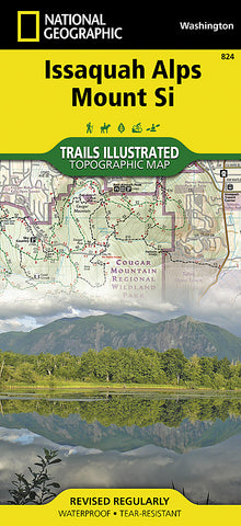


Issaquah Alps/Mount Si, WA, Map 824 by National Geographic Maps
Click to Zoom (high resolution)
• Waterproof • Tear-Resistant • Topographic Map
National Geographics Trails Illustrated map of the Issaquah Alps, Mount Si is a two-sided, waterproof map designed to meet the needs of outdoor enthusiasts with unmatched durability and detail. This map was created in conjunction with local land management agencies and is loaded with valuable recreation information.
Trails Illustrated maps are expertly researched and frequently updated. The maps are printed in the United States on durable synthetic paper, making them waterproof, tear-resistant, and trail tough - capable of going anywhere you do.
- Product Number: 2139184M
- Product Code: TI_ISSAQUAH
- Publisher Product ID: TI00000824
- ISBN: 9781566956338
- Year of Publication: 2013
- Folded Size: 9.45 x 4.33 inches
- Unfolded Size: 24.8 x 37.01 inches
- Map type: Folded Map
- Geographical region: Washington


