
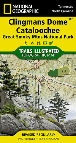
Clingmans Dome and Cataloochee, Great Smoky Mtns Natl Park, Map 317 by National Geographic Maps
• Waterproof • Tear-Resistant • Topographic Map
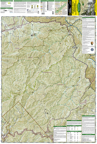
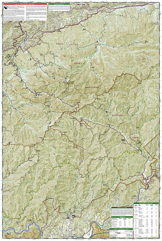
This title provides an increased scale of one of the most visited National Parks in the US, and one of our more popular map titles. This increased scale will provide greater detail to the backcountry users and Appalachian Trail through-hikers.
Park Introduction:
Great Smoky Mountains National Park is a hikers paradise with over 800 miles of maintained trails ranging from short legstretchers to strenuous treks that may require backcountry camping. But hiking is not the only reason for visiting the Smokies. Car camping, fishing, picnicking, wildlife viewing and auto touring are popular activities.
Coverage Highlights
Areas and places featured in this map series (TI316 and TI317) include:
• Appalachian Trail
• Benton Mackaye Trail
• Mountains-to-Sea Trail
• Backcountry Campsites
• Detailed Trail Mileages
• Footbridges
• Fords/Stream Crossings
• Nature/Interpretive Trails
• Scenic Overlooks/Roadside Pull-outs
• Cades Cove Driving Loop
• Chilowee Mountain, Little Mountain, and Cataloochee Divide
• Blue Ridge Parkway
• National Forest Service Lands (Cherokee, Pisgah and Nantahala National Forests)
• Little Tennessee and Tuckasegee Rivers
• Chilhowee and Fontana Lakes
• Maryville, Tennessee - Gatlinburg, Tennessee - Waynesville, North Carolina
- Product Number: 2034601M
- Product Code: TI_CLINGMANS
- Publisher Product ID: TI00000317
- ISBN: 9781566955010
- Year of Publication: 2010
- Folded Size: 7.48 x 3.94 inches
- Unfolded Size: 36.22 x 24.8 inches
- Map type: Folded Map
- Geographical region: United States


